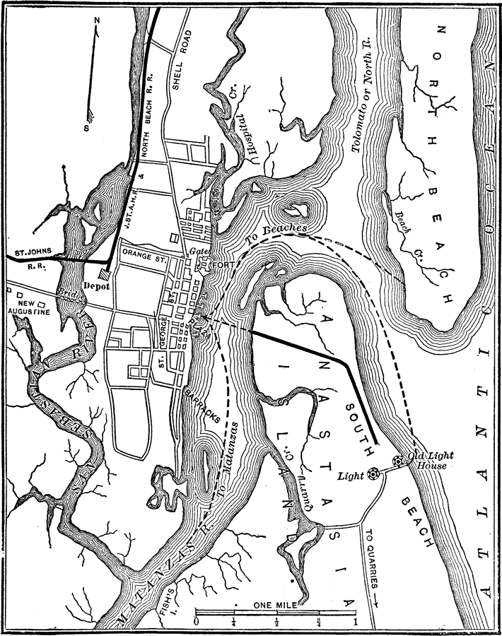
Description: A map of the vicinity of St. Augustine, Florida showing rivers, streets, railroads, beaches, and lighthouses.
Place Names: St. Johns, St Augustine, Tolomato River, North River, Matanzas River, San Sebastian River, New Augustine, Castillo de San Marcos, Fort Marion
ISO Topic Categories: transportation, oceans, inlandWaters, structure
Keywords: St. Augustine, physical, transportation, physical features, roads, railroads, water routes, transportation, oceans, inlandWaters, structure, Unknown,1890
Source: Charles Ledyard Norton, A Handbook of Florida (New York, NY: Longmans, Green, & Co., 1890) 154
Map Credit: Courtesy the private collection of Roy Winkelman |
|