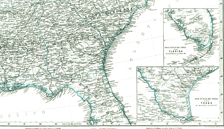
Description: A pre-Civil War map of Florida showing no towns or habitation along the Atlantic Coast from Mosquito Bar (New Smyrna Beach) to Key West or from Fort Brooke (Tampa) to Key West along the Gulf Coast. The Tallahassee to St. Marks line is the only railroad shown in Florida.
Place Names: 1840-1859, Cape Canaveral, Key West, Saint Augustine, Tallahassee, Jacksonville
ISO Topic Categories: boundaries, inlandWaters, oceans
Keywords: Map of the United States and Texas, physical, political, physical features, major political subdivisions, boundaries, inlandWaters, oceans, Unknown,1848
Source: J. R. McCulloch, McCulloch's Universal Gazetteer (New York, NY: Harper & Brothers, 1848)
Map Credit: Courtesy the private collection of Roy Winkelman |
|