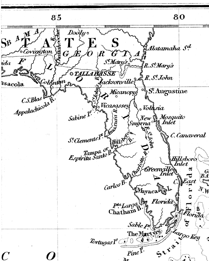
Description: A pre-Civil War map of Florida showing an imprecise northern border with Alabama and Georgia, and several naming inaccuracies such as the Suwannee River labeled as the St. JohnÕs River, or obsolete names such as the Marquesas Keys labeled The Martyrs, and Lake Okeechobee labeled Mayaca Lake.
Place Names: 1840-1859, Cape Canaveral, Saint Augustine, Tallahassee, Jacksonville
ISO Topic Categories: boundaries, inlandWaters, oceans
Keywords: Central America and the West Indies, physical, political, physical features, major political subdivisions, boundaries, inlandWaters, oceans, Unknown,1848
Source: J. R. McCulloch, McCulloch's Universal Gazetteer (New York, NY: Harper & Brothers, 1848)
Map Credit: Courtesy the private collection of Roy Winkelman |
|
