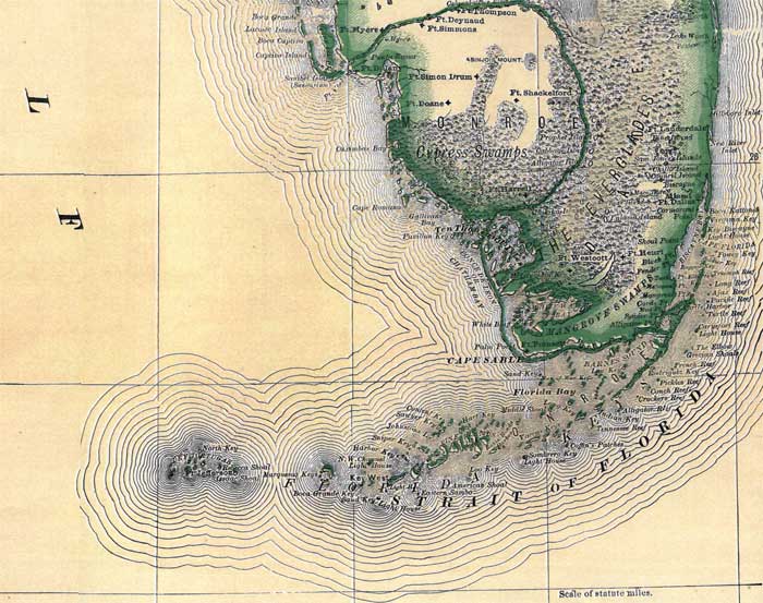
Description: This map of Monroe County shows the county seat (Key West), forts, and cities current to 1880.
Place Names: Monroe, Key West, Ten Thousand Islands, Key Largo, Ft. Myers, Ft. Simmons, Ft. Deynaud, Ft. Thompson, Ft. Doane, Ft. Harrell
ISO Topic Categories: boundaries, inlandWaters
Keywords: Monroe County, physical, political, forts, physical features, county borders, boundaries, inlandWaters, Unknown,1880
Source: , Leslie's New World Atlas (New York, NY: Leslie-Judge Company, 1880)
Map Credit: Courtesy the private collection of Roy Winkelman. |
|