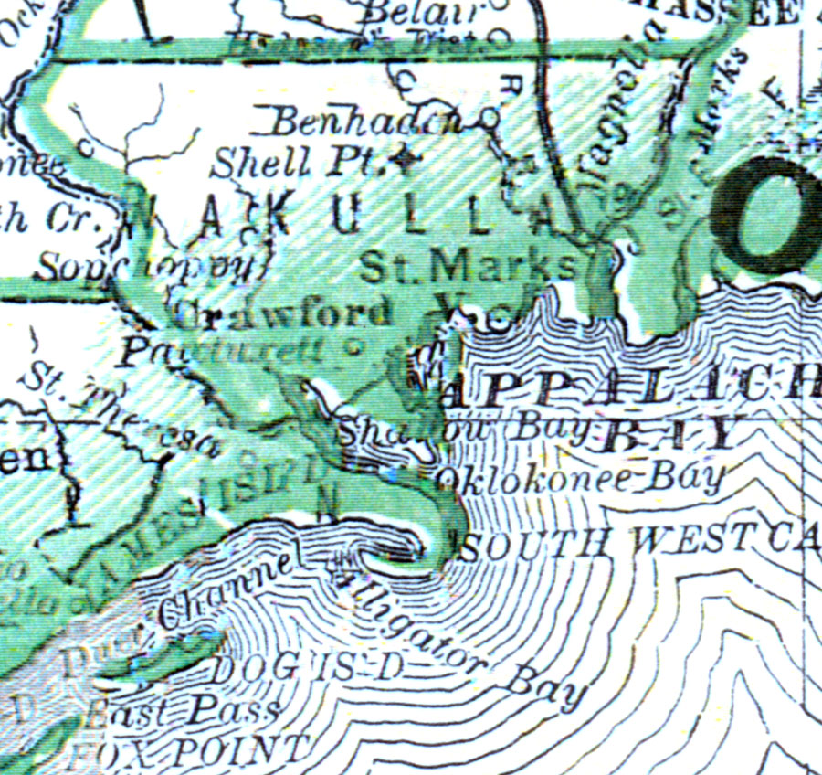
Description: This map of Wakulla County shows the county seat (Crawfordville), railroads, and cities current to 1880.
Place Names: Wakulla, Sopchoppy, Shell Point, St. Marks, Crawfordville, Ben Haden
ISO Topic Categories: boundaries, inlandWaters, transportation
Keywords: Wakulla County, physical, political, transportation, physical features, county borders, railroads, boundaries, inlandWaters, transportation, Unknown,1880
Source: , Leslie's New World Atlas (New York, NY: Leslie-Judge Company, 1880)
Map Credit: Courtesy the private collection of Roy Winkelman. |
|