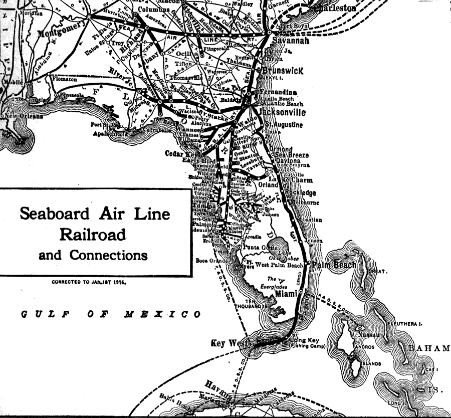
Description: Route map of the Seaboard Air Line Railroad current to 1916 running from New York to Key West. This portion of the map shows shipping routes into Savannah Georgia, between Miami and Nassau, Tampa and Key west, and Key West and Havana.
Place Names: 1900-1919,
ISO Topic Categories:
Keywords: Seaboard Air Line Railroad and Connections, physical, �political, �transportation, physical features, major political subdivisions, railroads, Unknown,1917
Source: Francis J. Reynolds, The New Encyclopedic Atlas and Gazetteer of the World (New York, NY: P. F. Collier and Son, 1917) 264
Map Credit: Courtesy the private collection of Roy Winkelman |
|
