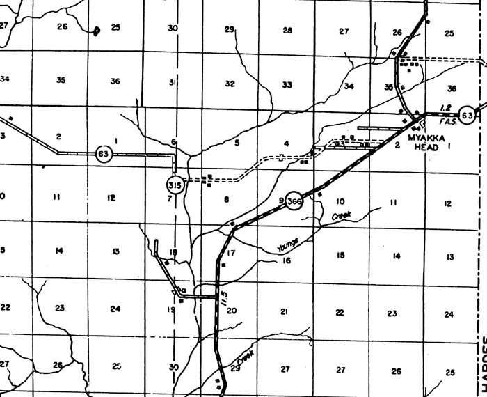
Description: This is a detailed map of the city Myakka Head in Manatee County, Florida. Section Township Range (STR) is shown. This map shows state roads, bituminous roads, graded and drained roads, county lines, inland water, farm units and dwellings other than farms. Key to Florida Highway maps.
Place Names: Manatee, Myakka Head, Youngs Creek
ISO Topic Categories: boundaries, transportation, location, inlandWaters
Keywords: Myakka Head, physical, political, transportation, physical features, major political subdivisions, local jurisdictions, roads, boundaries, transportation, location, inlandWaters, Unknown,1940
Source: , Florida State Road Department (Tallahassee, FL: FDOT, 1940)
Map Credit: Courtesy the private collection of Roy Winkelman. |
|