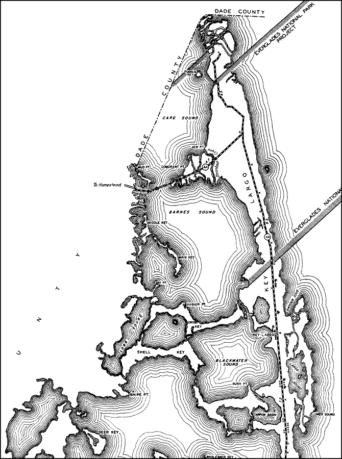
Description: This is a detailed map of the first east portion of the county of Monroe in the state of Florida. Section Township Range (STR) is shown. This map shows all of the main keys and cities, state roads, bridge highways, businesses, a hotel, farm units and dwellings other than farms. Key to Florida Highway maps.
Place Names: Monroe, Pumkin Key, Card Sound, Jew Pt, Comorant Pt, Mud Pt, Key Largo, Barnes Sound, Middle Key, Main Key, Bay Pt, Atlantic Ocean, Gulf of Mexico, Division Pt, Cross Key, Garden Cove, Blackwater Sound, Tarpon Basin, Bush Pt, Shell Key, Snipe Pt, Long Sound, Deer Key, Whaleback Key, Lower Sound
ISO Topic Categories: boundaries, transportation, location, inlandWaters, oceans
Keywords: East Monroe 2, physical, political, transportation, physical features, major political subdivisions, local jurisdictions, roads, boundaries, transportation, location, inlandWaters, oceans, Mercator, 1937
Source: , Florida State Road Department (, FL: , 1937)
Map Credit: Courtesy the private collection of Roy Winkelman. |
|