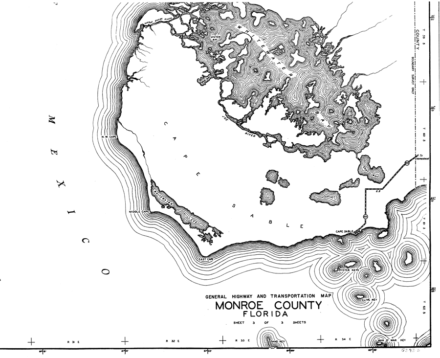
Description: This is a detailed map of the south portion of the county of Monroe in the state of Florida. Section Township Range (STR) is shown. This map shows all of the main keys and bodies of water, a business and dwellings. Key to Florida Highway maps.
Place Names: Monroe, Gulf of Mexico, N. W. Cape, Oyster Bay, Mud Bay, Whitewater Bay, Cape Sable, Oyster Keys, Clive Key, Man O' War Key, East Cape, Middle Cape, Whitewater Lake
ISO Topic Categories: boundaries, transportation, location, inlandWaters, oceans
Keywords: South Monroe, physical, political, transportation, physical features, major political subdivisions, local jurisdictions, roads, boundaries, transportation, location, inlandWaters, oceans, Mercator, 1937
Source: , Florida State Road Department (, FL: , 1937)
Map Credit: Courtesy the private collection of Roy Winkelman. |
|