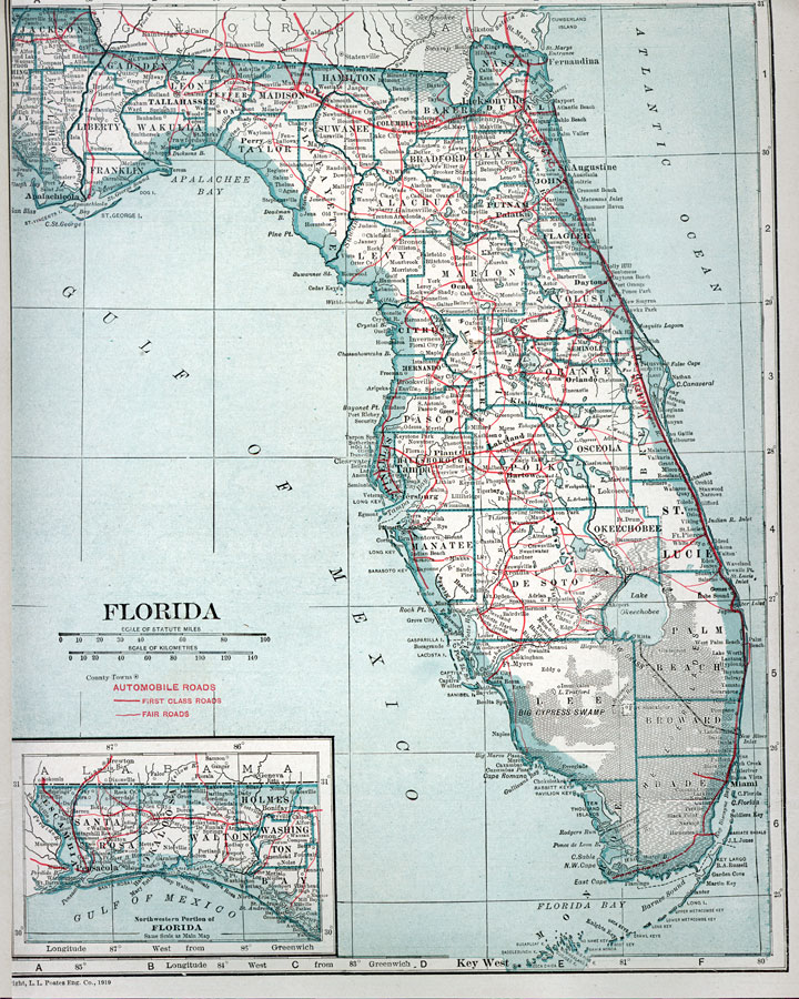
Description: Road map of Florida showing major cities with connecting first-class and fair roads current to 1919. The 1919 Florida license plate was black figures on an orange background. Speed limit: Reasonable and proper with a maximum speed limit of 25 mph. "Excess of 25 for one-eighth mile prima facie evidence of speed greater than reasonable and proper."
Place Names: 1900-1919, Cape Canaveral, Daytona Beach, Fort Lauderdale, Fort Myers, Fort Walton Beach, Gainesville, Jacksonville, Key West, Miami, Naples, Orlando, Panama City, Pensacola, Saint Augustine, Sarasota, St Petersburg, Tallahassee, Tampa, West Palm Beach
ISO Topic Categories: boundaries, inlandWaters, oceans, transportation
Keywords: Automobile Map of Florida, physical, political, transportation, physical features, major political subdivisions, county borders, roads, boundaries, inlandWaters, oceans, transportation, Unknown,1919
Source: Francis J. Reynolds, Reynold's After-War Atlas (Toronto, Ontario: Reynolds' Publishing Company, 1919) 337
Map Credit: Courtesy the private collection of Roy Winkelman. |
|