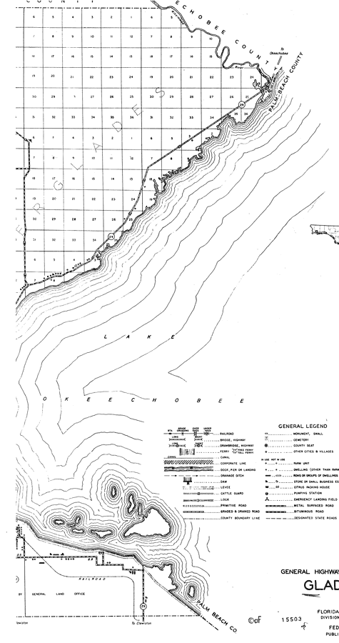
Description: This is a detailed map of the east side of the county of Glades in the state of Florida. Section Township Range (STR) is shown. This map shows all of the main cities, state roads, bridge highways, drawbridge highways, railroads, inland waters, county boundary, camp or lodge, post offices, cattle guards, churches, farm units, dwellings other than farms, tenant houses, businesses, and schools. Key to Florida Highway maps.
Place Names: Glades, Lake Okeechobee, Palm Beach, Everglades, Kissimmee River
ISO Topic Categories: boundaries, inlandWaters, location, transportation
Keywords: East Glades, physical, political, transportation, physical features, major political subdivisions, county borders, local jurisdictions, roads, railroads, water routes, boundaries, inlandWaters, location, transportation, Unknown,1936
Source: , Florida State Road Department (, FL: , 1936)
Map Credit: Courtesy the private collection of Roy Winkelman. |
|