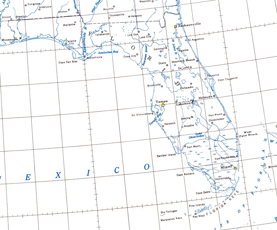
Description: Map of Florida showning major lakes and rivers. N.O.A.A. map reference: 9-11-1954. PLEASE NOTE: This historical data is not to be used for navigation or navigation planning. The Florida Center for Instructional Technology (FCIT) does not assume responsibility for the improper use of these data.
Place Names: 1950-1999, Cape Canaveral, Daytona Beach, Fort Lauderdale, West Palm Beach, Miami, Key West, Fort Myers, Sarasota, St Petersburg, Tallahassee, Gainesville, Orlando, Saint Augustine, Tampa, Jacksonville, Pensacola, Panama City
ISO Topic Categories: boundaries, oceans, inlandWaters
Keywords: Florida Lakes and Rivers, physical, hydrological, physical features, drainage basins, boundaries, oceans, inlandWaters, Unknown,1954
Source: National Oceanic and Atmospheric Administration, Coast Survey (Washington, DC: U.S. Coast and Geodetic Survey, 1954)
Map Credit: Courtesy the U.S. National Oceanic and Atmospheric Administration |
|
