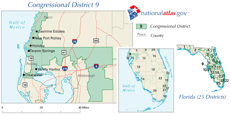
Description: This is a map of Florida's Congressional District 9 in the Congressional Districts of the United States - 107th Congress. It shows main cities, state roads, U. S. highways and county names.
Place Names: 2000-, Jasmine Estates, New Port Richey, Holiday, Tarpon Springs, Safety Harbor, Clearwater, Hillsborough, Pinellas, Pasco, Gulf of Mexico
ISO Topic Categories: boundaries, transportation, oceans
Keywords: 107th Congress - Florida's Congressional District 9, transportation, political, county borders, roads, boundaries, transportation, oceans, Unknown,2001
Source: , National Atlas (U. S. Geological Survey, 2001)
Map Credit: Courtesy of the National Atlas. |
|