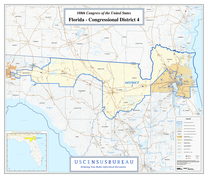
Description: This is a map of Florida's Congressional District 4 in the Congressional Districts of the United States - 108th Congress. It shows map legend, main cities, city roads, state roads, U. S. highways and county names.
Place Names: 2000-, Jefferson, Monticello, Greenville, Madison, Lee, Jennings, Jasper, Hamilton, White Springs, Baker, Macclenny, Glen St. Mary, Watertown, Lake City, Union, Raiford, Worthington Springs, Fort White, Lake Butler, Nassau, Hilliard, Yulee, Callahan, Duval, Atlantic Beach, Jacksonville, Atlantic Ocean
ISO Topic Categories: boundaries, transportation, inlandWaters, oceans
Keywords: 108th Congress - Florida's Congressional District 4, transportation, political, county borders, country borders, roads, boundaries, transportation, inlandWaters, oceans, Unknown,2003
Source: United States Census Bureau Geography Division, United States Census Bureau (Government Printing Office, 2003)
Map Credit: Courtesy of the United States Census Bureau. |
|