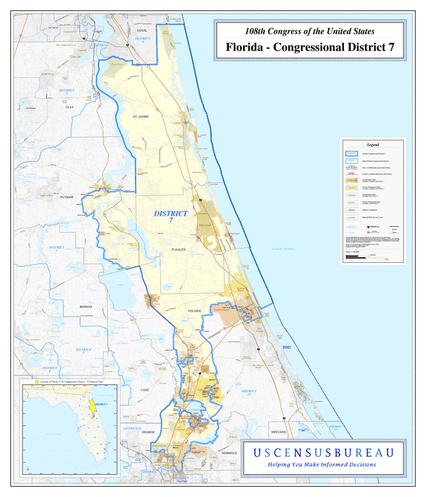
Description: This is a map of Florida's Congressional District 7 in the Congressional Districts of the United States - 108th Congress. It shows map legend, main cities, city roads, state roads, U. S. highways and county names.
Place Names: 2000-, St. Johns, St. Augustine, Saint Augustine, Fruit Cove, Villano Beach, St. Augustine Beach, Butler Beach, Crescent Beach, St. Augustine South, St. Augustine Shores, Hastings, Beverly Beach, Palm Coast, Flagler, Flagler Beach, Ormond Beach, Welaka, Volusia, Pierson, De Leon Springs, De Land, Lake Helen, Deltona, De Bary, Sanford, Lake Mary, Longwood, Wekiwa Springs, Atlantic Ocean, Seminole, Putnam
ISO Topic Categories: boundaries, transportation, inlandWaters, oceans
Keywords: 108th Congress - Florida's Congressional District 7, transportation, political, county borders, roads, boundaries, transportation, inlandWaters, oceans, Unknown,2003
Source: United States Census Bureau Geography Division, United States Census Bureau (Government Printing Office, 2003)
Map Credit: Courtesy of the United States Census Bureau. |
|