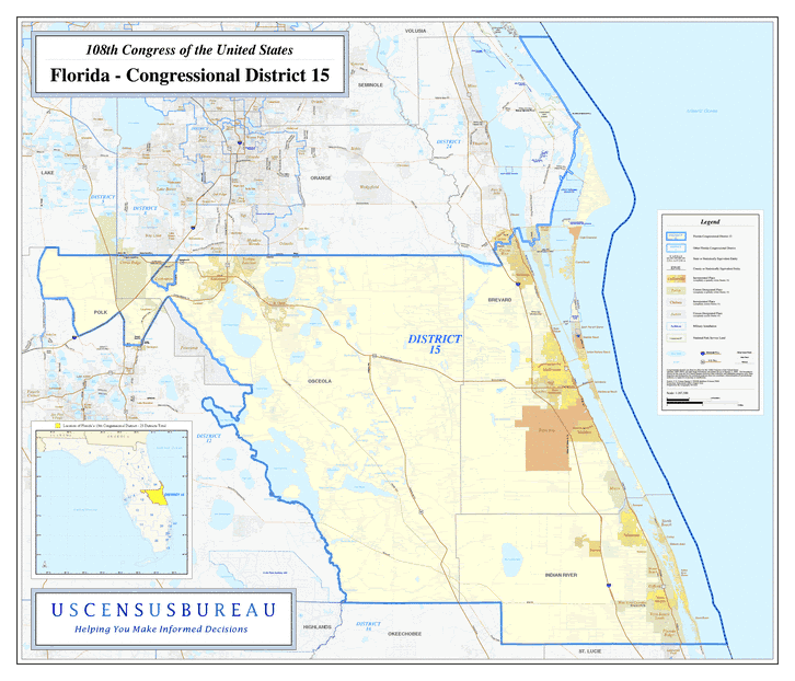
Description: This is a map of Florida's Congressional District 15 in the Congressional Districts of the United States - 108th Congress. It shows map legend, main cities, city roads, state roads, U. S. highways and county names.
Place Names: 2000-, Brevard, Indian River, Osceola, Polk, Atlantic Ocean, Cape Canaveral, Cocoa Beach, Cocoa West, Rockledge, Merritt Island, St. Cloud, Kissimmee, Citrus Ridge, Melbourne, Malabar, Palm Bay, Micco, Sebastian, North Beach, Vero Beach
ISO Topic Categories: boundaries, transportation, oceans, inlandWaters
Keywords: 108th Congress - Florida's Congressional District 15, transportation, political, county borders, roads, boundaries, transportation, oceans, inlandWaters, Unknown,2003
Source: United States Census Bureau Geography Division, United States Census Bureau (Government Printing Office, 2003)
Map Credit: Courtesy of the United States Census Bureau. |
|