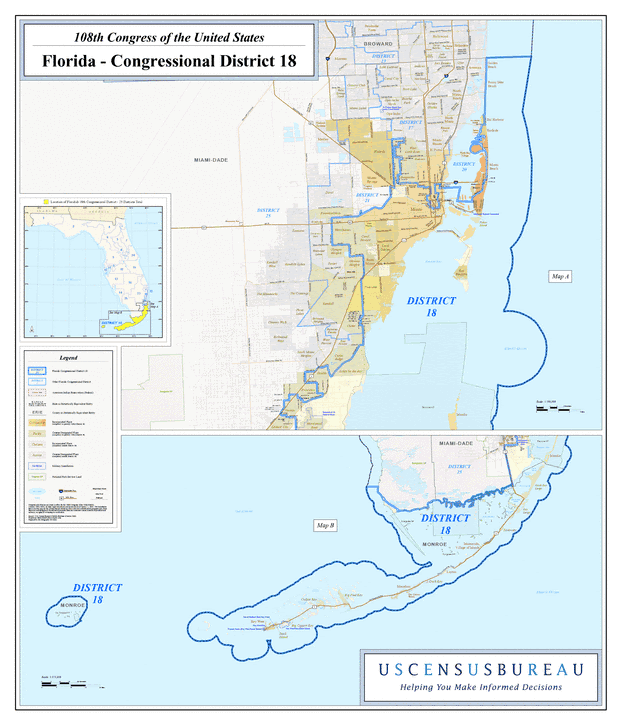
Description: This is a map of Florida's Congressional District 18 in the Congressional Districts of the United States - 108th Congress. It shows map legend, main cities, city roads, state roads, U. S. highways and county names.
Place Names: 2000-, Miami-Dade, Monroe, Atlantic Ocean, Golden Beach, Bal Harbour, Surfside, Miami Beach, Miami, Coral Gables, Pinecrest, Key Biscayne, Biscayne Bay, Goulds, Homestead, Key Largo, Islamorada, Marathon, Big Pine Key, Key West
ISO Topic Categories: boundaries, transportation, inlandWaters, oceans
Keywords: 108th Congress - Florida's Congressional District 18, transportation, political, county borders, roads, boundaries, transportation, inlandWaters, oceans, Unknown,2003
Source: United States Census Bureau Geography Division, United States Census Bureau (Government Printing Office, 2003)
Map Credit: Courtesy of the United States Census Bureau. |
|