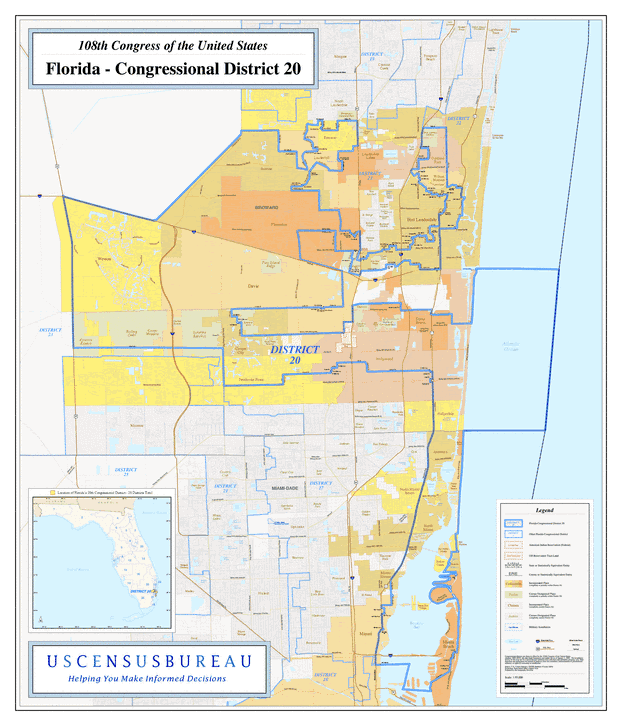
Description: This is a map of Florida's Congressional District 20 in the Congressional Districts of the United States - 108th Congress. It shows map legend, main cities, city roads, state roads, U. S. highways and county names.
Place Names: 2000-, Broward, Miami-Dade, Atlantic Ocean, Tamarac, Lauderhill, Plantation, Sunrise, Weston, Davie, Oakland Park, Hollywood, Pembroke Pines, Dania Beach, Hallandale, Aventura, North Miami, Biscayne Bay, Miami Beach
ISO Topic Categories: boundaries, transportation, oceans, inlandWaters
Keywords: 108th Congress - Florida's Congressional District 20, transportation, political, county borders, roads, boundaries, transportation, oceans, inlandWaters, Unknown,2003
Source: United States Census Bureau Geography Division, United States Census Bureau (Government Printing Office, 2003)
Map Credit: Courtesy of the United States Census Bureau. |
|