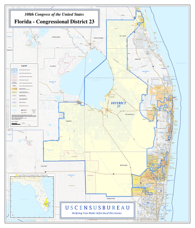
Description: This is a map of Florida's Congressional District 23 in the Congressional Districts of the United States - 108th Congress. It shows map legend, main cities, city roads, state roads, U. S. highways and county names.
Place Names: 2000-, Broward, Hendry, Martin, Palm Beach, St. Lucie, Atlantic Ocean, Fort Pierce, Pahokee, Lake Okeechobee, Belle Grande, Lauderhill, Harlem
ISO Topic Categories: boundaries, transportation, inlandWaters, oceans
Keywords: 108th Congress - Florida's Congressional District 23, transportation, political, county borders, roads, boundaries, transportation, inlandWaters, oceans, Unknown,2003
Source: United States Census Bureau Geography Division, United States Census Bureau (Government Printing Office, 2003)
Map Credit: Courtesy of the United States Census Bureau. |
|