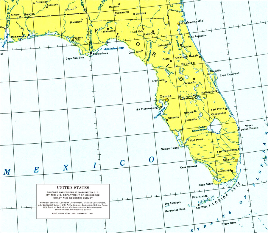
Description: A portion of the aeronautical map of the United States, used by pilots to navigate between airports circa 1957, showing the state of Florida. The map scale is 1:5,000,000.
Place Names: 1950-1999, Cape Canaveral, Daytona Beach, Fort Lauderdale, Fort Myers, Gainesville, Jacksonville, Key West, Miami, Orlando, Saint Augustine, Panama City, Pensacola, Sarasota, St Petersburg, Tallahassee, Tampa, West Palm Beach
ISO Topic Categories: boundaries, inlandWaters, oceans
Keywords: Florida, physical, political, physical features, major political subdivisions, boundaries, inlandWaters, oceans, Lambert_Conformal_Conic, 1957
Source: Coast and Geodetic Survey, United States (Washington, D.C.: U.S. Department Of Commerce, 1957)
Map Credit: Courtesy the U.S. National Oceanic and Atmospheric Administration |
|
