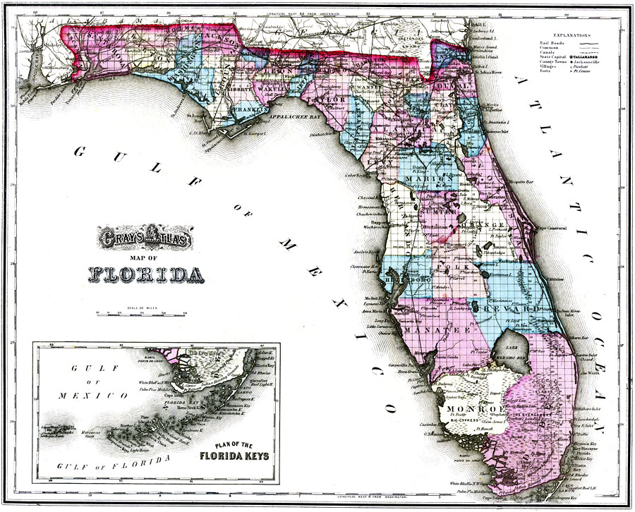
Description: Digitization provided by the USF Libraries Digitization Center. Rare Maps. This is a detailed map of Florida showing counties, cities, roads, railroads, inland waters, etc with an inset of the Plan of the Florida Keys. Prime Meridians: Greenwich and Washington. Measurements.Dimensions: 29 x 36 cm. on sheet 37 x 44 cm. Measurements.Resolution: Scale ca. 1:2,600,000
Place Names: 1860-1879, Atlantic Ocean, Jacksonville, Pensacola, Apalachicola, Tallahassee, Saint Augustine, Gainesville, Tampa, Cape Canaveral, Fernandina, Springhill, Sarasota, Miami, Fort Myers, West Palm Beach, Lake Okeechobee, Fort Lauderdale, Gulf of Mexico, Key West
ISO Topic Categories: inlandWaters, oceans, boundaries, transportation
Keywords: Gray's Atlas map of Florida, physical, historical, political, transportation, physical features, country borders, county borders, railroads, roads, inlandWaters, oceans, boundaries, transportation, Unknown,1875
Source: Ormando Willis Gray, Gray's Atlas (Philadelphia, PA: O. W. Gray and Son, 1875) 107
Map Credit: Courtesy of the Special Collections Department, University of South Florida. |
|