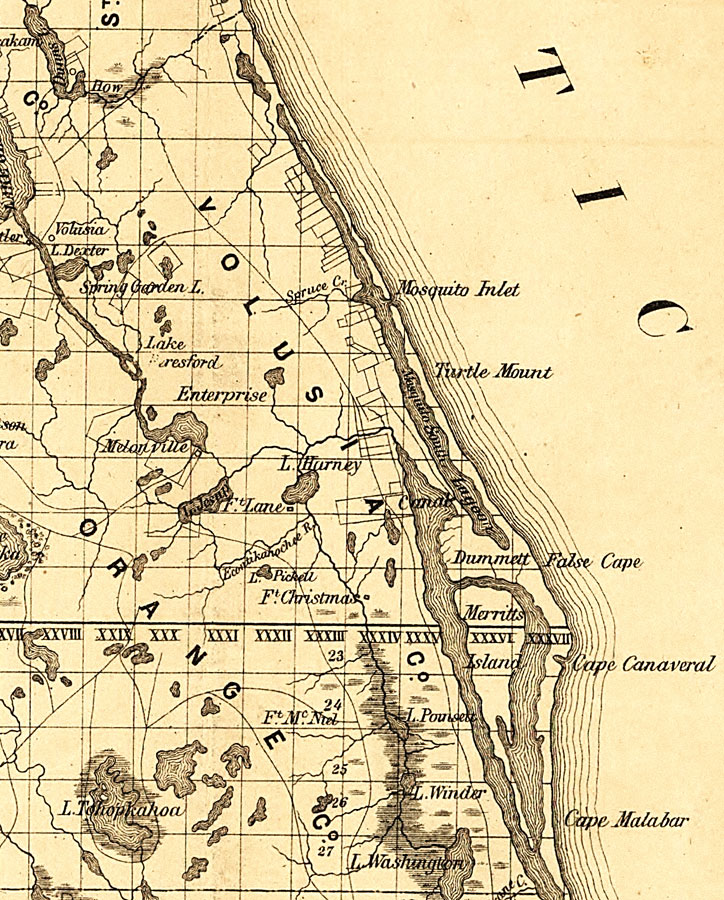
Description: Railroad map of Volusia County, Florida showing river drainage, cities and towns, and roads in 1859. Township grids based on the Tallahassee basis parallel and the Tallahassee prime meridian shows the extent of land survey in Florida. Land grants and large parcel property lines are also shown. The map scale is 1:1,140,480.
Place Names: Volusia, Mosquito Inlet, Turtle Mount, Cape Canaveral, Meritts Island,
ISO Topic Categories: transportation, inlandWaters, boundaries
Keywords: Volusia County, physical, political, transportation, physical features, county borders, railroads, roads, transportation, inlandWaters, boundaries, Unknown,1859
Source: , Annual Report of the Surveyor General for 1859 (New York, NY: General Land Office, 1859)
Map Credit: Courtesy of the Geography and Map Division of the Library of Congress. |
|