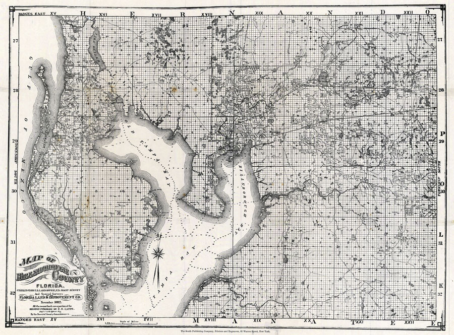
Description: Digitization provided by the USF Libraries Digitization Center. Rare Maps. This is a map of Hillsborough county showing cities and towns, water depths, inland waters and property ownership by name circa 1882. Section Township Range (STR) is shown. Measurements.Dimensions: 90 x 121 cm., folded in cover 25 x 14 cm. Measurements.Resolution: Scale [ca. 1:63,360].
Place Names: Hillsborough, Tampa, Plant City, Thonotosassa, Seffner, Bloomingdale, Dunedin, Anclote, Bayview, Clearwater, Johns Pass, Pinellas, Gulf of Mexico, Tampa Bay, Safety Harbor, Limona, Mango
ISO Topic Categories: transportation, inlandWaters, oceans, boundaries
Keywords: Map of Hillsborough County, historical, transportation, political, hydrological, local jurisdictions, water depths, transportation, inlandWaters, oceans, boundaries, Unknown,1882 AD
Source: J. J. Treveres, (New York, NY: The South Publishing Company, 1882)
Map Credit: Courtesy of the Special Collections Department, University of South Florida. |
|