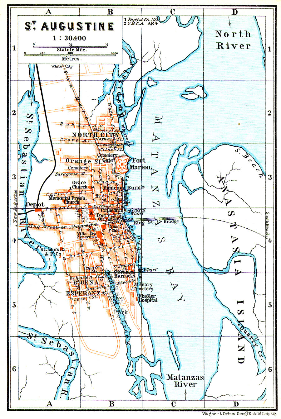
Description: Digitization provided by the USF Libraries Digitization Center. Rare Maps. This is a map of St. Augustine, circa 1909. This map shows city roads, railroads, bridges, locations of places (hospital, municipal building, etc.), Castillo de San Marcos which was known at this time as Fort Marion and inland waters. Measurements.Dimensions: 10 x 15 cm. Measurements.Resolution: Scale [1:30,400]
Place Names: St. Johns, St. Sebastian River, Castillo de San Marcos, Matanzas Bay, Matanzas River, Anastasia Island, St. Augustine, Saint Augustine, Fort Marion, New Augustine
ISO Topic Categories: inlandWaters, transportation, location
Keywords: St. Augustine, historical, transportation, physical, physical features, roads, water routes, railroads, inlandWaters, transportation, location, Unknown,1909
Source: Karl Baedeker, The United States with an excursion into Mexico: handbook for travellers (Leipzig, : Wagner & Debes Geog. & Karl Baedeker, 1909)
Map Credit: Courtesy of the Special Collections Department, University of South Florida. |
|