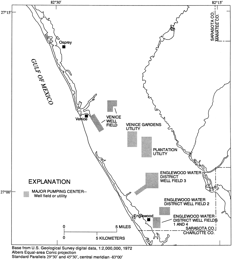
Description: This map from the U. S. Geological Survey Water Resources Investigation Report number 96-4063, Hydrology of the Surficial and Intermediate Aquifer Systems in Sarasota and Adjacent Counties, shows the major well fields or utility pumping centers in southwest Sarasota County. The map scale is 1:2,000,000.
Place Names: Sarasota, Sarasota County, Myakka River, Walton, South Venice, Venice, Osprey, Englewood
ISO Topic Categories: boundaries, geoscientificInformation, inlandWaters
Keywords: Major Pumping Centers in Southwest Sarasota County, physical, political, hydrological, khydrology, kgroundwater, kaquifer, physical features, geological, county borders, water table, boundaries, geoscientificInformation, inlandWaters, Albers_Conical_Equal,1996
Source: G. L. Barr, USGS Water Resources Investigations Report 96-4063 (Tallahassee, FL: U. S. Geological Survey, 1996) 40
Map Credit: Courtesy the University of South Florida Library |
|