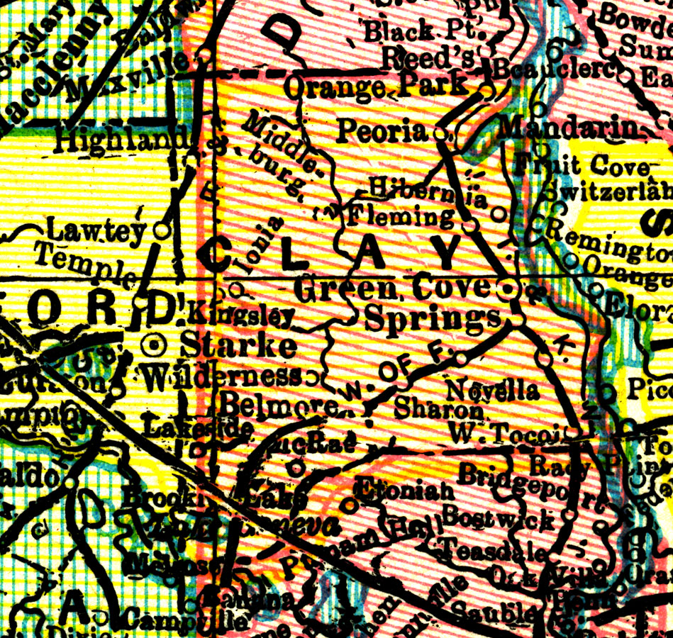
Description: A map of Clay County showing county lines, the county seat (Green Cove Springs), and railroads connecting the major cities current to 1898.
Place Names: Clay, Green Cove Springs, Orange Park, Peoria, Hibernia, Belmore, Fleming, West Tocoi, McRae
ISO Topic Categories: boundaries, transportation, inlandWaters
Keywords: Clay County, physical, political, transportation, physical features, county borders, railroads, boundaries, transportation, inlandWaters, Unknown,1898
Source: John W. Iliff and Company, (, : Iliff Atlas, 1898)
Map Credit: Courtesy the private collection of Roy Winkelman |
|