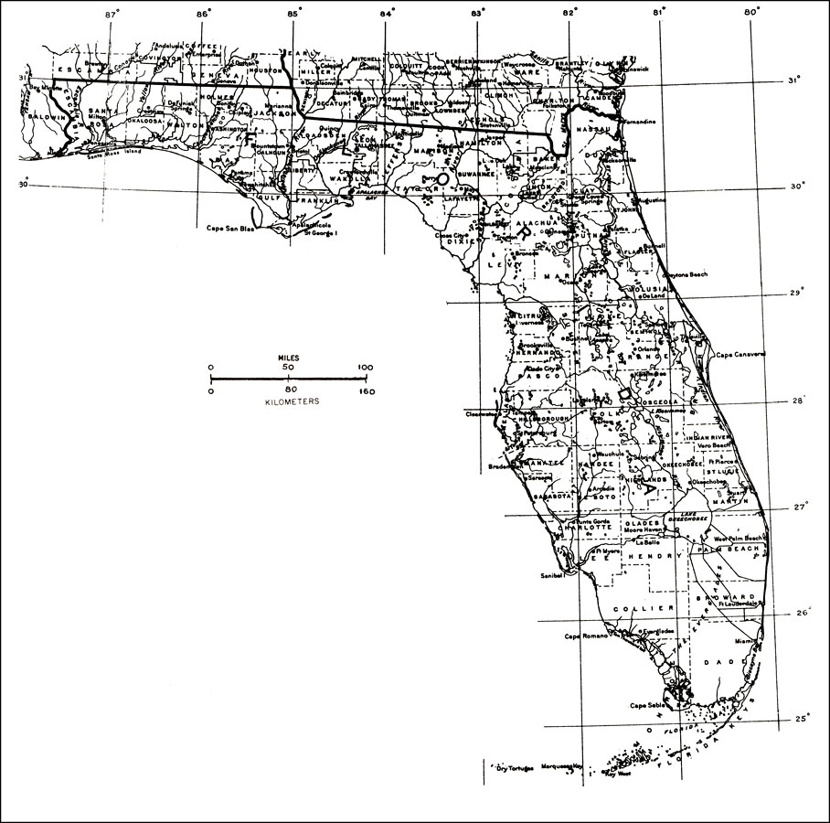
Description: "This base map by the United States Geological Survey is used for the ranges of the 98 tropical tree species mostly in South Florida. Lines show county boundaries, rivers, and lakes. Counties, county seats, and physical features are named." —Elbert L. Little, Jr. For more information, read the introduction to the Atlas of United States Trees Vol. 5 Florida.
Place Names: 1950-1999, Miami, Cape Canaveral, Daytona Beach, Fort Myers, St Petersburg, Tampa, Tallahassee, Jacksonville, Sarasota, Saint Augustine, West Palm Beach, Orlando
ISO Topic Categories: boundaries, inlandWaters
Keywords: General Map of Florida, political, major political subdivisions, county borders, boundaries, inlandWaters, 1978
Source: Elbert L. Little, Jr., Atlas of United States Trees Volume 5 Florida (Washington, DC: United States Government Printing Office, 1978)
Map Credit: Courtesy the private collection of Roy Winkelman. |
|