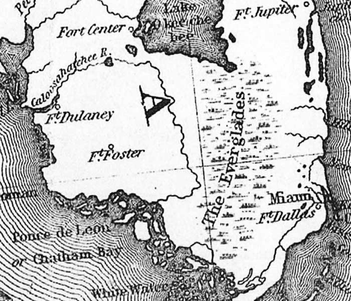
Description: This detail of the southern Florida peninsula is from the 1861 map "Thayer's statistical and military map of the middle and southern states." It shows Miami, several Army forts, the Everglades, and coastline.
Place Names: 1860-1879, Lake Okeechobee, Ft. Jupiter, Miami, Ft. Dallas, Ft. Foster, Fort Center, Ft. Dulaney, The Everglades
ISO Topic Categories: boundaries, inlandWaters, oceans, society, transportation
Keywords: Detail - Thayer's statistical and military map of the middle and southern states, physical, transportation, historical, physical features, roads, railroads, Civil War, boundaries, inlandWaters, oceans, society, transportation, Unknown,1861
Source: Horace Thayer, (New York, NY: H. Thayer, 1861)
Map Credit: Courtesy of the Geography and Map Division of the Library of Congress |
|