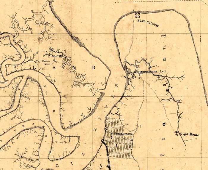
Description: This detail of a map of the Fernandina region shows major waterways for Amelia Island and Fernandina current to the 1860s. The head of the Amelia River is surrounded by Woodlands Island and Amelia Island. The grid of Fernandina and railroads are drawn, as well as an indication of the Old Fernandina settlement. Fort Clinch is indicated on the northern portion of Amelia Island. The map scale is not given.
Place Names: Duval, Amelia Island, Amelia River, Fernandina, Fort Clinch,
ISO Topic Categories: inlandWaters, oceans
Keywords: Detail - Map of Fernandina region, physical, physical features, inlandWaters, oceans, Unknown,1860s
Source: Joseph Roswell Hawley, (, : , 1860)
Map Credit: Courtesy of the Geography and Map Division of the Library of Congress |
|