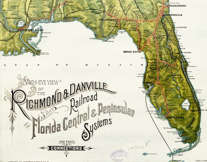
Description: Detail from the 1893 perspective map looking north from Florida covering the southern United States. Relief is shown by shading. Drainage, cities and towns, and the railroad network are indicated. Main lines appear in heavy red. Rail connection to steamship service from Tampa to Key West and Havana, Cuba is shown.
Place Names: 1880-1899, Fernandina, Jacksonville, Saint Augustine, New Smyrna, Cape CanaveralPalatka, Orlando, Lake Worth, Punta Rassa, Key West, Lake Okeechobee, Tampa, Cedar Key, Tallahassee, St. Marks, Pensacola
ISO Topic Categories: boundaries, inlandWaters, oceans, transportation
Keywords: Detail - Birds-eye-view of the Richmond & Danville Railroad and the Florida Central & Peninsular Systems and their connections, physical, political, transportation, physical features, topographical, major political subdivisions, railroads, boundaries, inlandWaters, oceans, transportation, Unknown,1893
Source: , (New York, NY: American Bank Note Company, 1893)
Map Credit: Courtesy of the Geography and Map Division of the Library of Congress |
|
