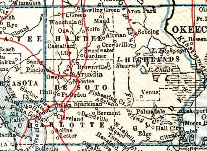
Description: A map of Hardee County showing county lines, the county seat (Wauchula), railroads, and cities current to 1921.
Place Names: Hardee, Bowling Green, Zolfo Springs, Zolfo, Castalia, Lily, Sweetwater, Crewsville, Gardner, Fort Green, Wauchula
ISO Topic Categories: transportation, inlandWaters, boundaries
Keywords: Hardee County, physical, political, transportation, physical features, county borders, railroads, transportation, inlandWaters, boundaries, Unknown,1921
Source: L. L. Poates , World Atlas and Gazetteer (New York, NY: P.F. Collier & Son, 1921)
Map Credit: Courtesy the private collection of Roy Winkelman. |
|