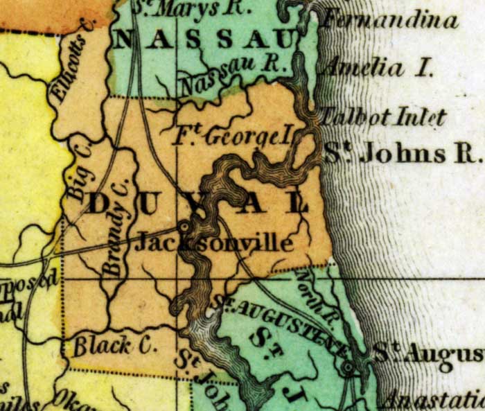
Description: This detail of a 1827 map shows major rivers, lakes, coastal features, settlements, and roads in Duval County. The Saint Johns River is shown as the central feature. Fort George Island is noted in the midst of this river. The county line is indicated with a dotted line. Sections of proposed shipping canals are also shown.
Place Names: Duval, Saint Johns, Jacksonville, Talbot Inlet, Fort George Island,
ISO Topic Categories: boundaries, inlandWaters, oceans
Keywords: Detail - Geographical, statistical, and historical map of Florida, physical, political, historical, physical features, major political subdivisions, county borders, boundaries, inlandWaters, oceans, Unknown,1827
Source: Joseph Drayton, A complete historical, chronological, and geographical American atlas (Philadelphia, PA: Carey and Lea , 1827) Plate 37
Map Credit: Courtesy of the Special Collections Department, University of South Florida |
|