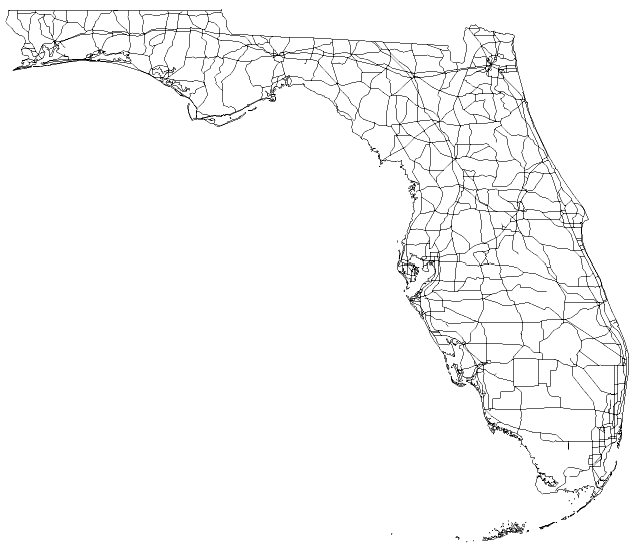
Description: A worksheet outline map of Florida showing major roads, highways, and Interstates.
Place Names: 2000-, blank state map, counties, roads
ISO Topic Categories: boundaries, transportation
Keywords: A map of Florida roads, physical, political, transportation, koutline, physical features, roads, boundaries, transportation, Unknown,2008
Source: Florida Center for Instructional Technology, (Tampa, FL: FCIT, 2008)
Map Credit: Courtesy of Roy Winkelman |
|