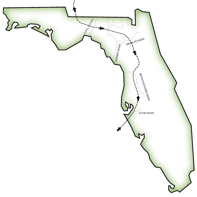
Description: A worksheet outline map showing Hernando de Soto's route through Florida from his landing site south of the Tampa Bay northward.
Place Names: Before 1700, blank state map
ISO Topic Categories: boundaries, society
Keywords: Route of de Soto through Florida, physical, political, historical, koutline, physical features, major political subdivisions, historical event, boundaries, society, Unknown,1539
Source: Florida Center for Instructional Technology, (Tampa, FL: FCIT, 2008)
Map Credit: Courtesy of Roy Winkelman |
|