|
|
|
| FL Maps > County > Monroe |
Click on a thumbnail image to view a full size version of that map.
Monroe County is Florida's 6th county, established on July 3, 1823, from a segment of St. Johns County. It gains its name from James Monroe (1758-1832), the 5th President of the United States (1817-1825). One of his achievements was obtaining the Floridas from Spain. Key West is the county seat.
For earlier maps of this area, visit the St. Johns County map gallery.
|
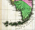
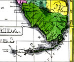
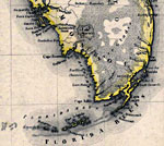
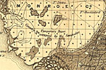
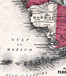
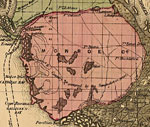
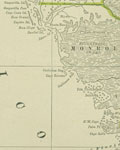
Detail - Geographical, statistical, and historical map of Florida,
1827 |
|
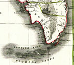
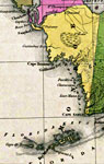
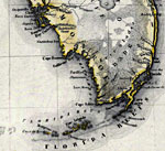
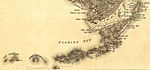
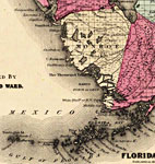
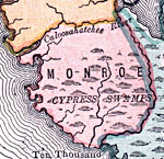
Monroe County,
1830 |
|
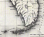
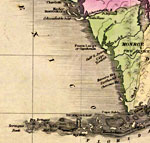
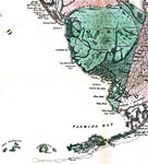
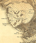
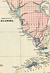
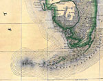
Monroe County,
1832 |
|
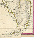
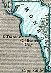
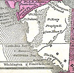
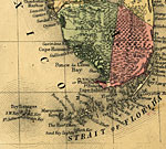
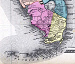
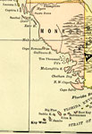
Monroe County,
1834 |
|
Monroe County,
1834 |
|
Detail - Florida,
1839 |
|
Detail - Map of the State of Florida,
1842 |
|
Monroe County,
1845 |
|
Monroe County,
1845 |
|
Monroe County,
1850 |
|
Monroe County,
1856 |
|
Monroe County,
1857 |
|
Indian Territory in South Florida,
1859 |
|
The Florida Keys,
1859 |
|
Mainland Monroe County,
1859 |
|
Monroe County,
1860 |
|
Monroe,
1860 |
|
Monroe County,
1863 |
|
Monroe County,
1871 |
|
Monroe County,
1873 |
|
Monroe County,
1874 |
|
Monroe County,
1880 |
|
Monroe County,
1880 |
|
Monroe County,
1883 |
|
Monroe County,
1886 |
| Next | Last |
| FL Maps > County > Monroe |
Maps ETC
is a part of the
Educational Technology Clearinghouse
Produced by the
Florida Center for Instructional Technology
© 2007
College of Education
,
University of South Florida