|
|
|
| FL Maps > County > Sarasota |
Click on a thumbnail image to view a full size version of that map.
Sarasota County is Florida's 60th county, established on May 14, 1921, from a segment of Manatee County. The origins of its name are unclear, but it is likely based on some words from a Native American language. Sarasota is the county seat.
For earlier maps of this area, visit the Manatee County map gallery.

|
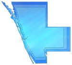
Fancy Frames Collection: Sarasota County Maps in 30 styles,
2008 |

|
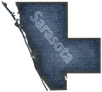
Florida Photo Collection: Sarasota County Maps in 30 styles,
2008 |
|
Florida Waterways: Sarasota County Outline,
2008 |
|
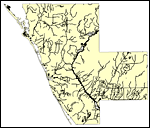
Florida Waterways: Sarasota County ,
2008 |
|
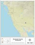
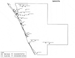
Sinkholes of Sarasota County, Florida ,
2008 |
|
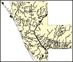
Florida Waterways: Sarasota County Outline without Labels,
2008 |
|
Sarasota "Abstract" Style Maps in 30 Styles,
2008 |
|
Sarasota County "Fun" Maps in 30 Styles,
2008 |
|
Florida Seagrass: Sarasota,
2008 |
|
Sarasota County Cities with Labels,
2009 |
|
Sarasota County Cities Outline,
2009 |
|
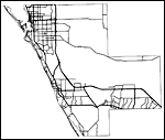
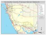
Sarasota County Road Network- Black and White,
2009 |
|
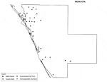
Sarasota County Railway Network- Black and White,
2009 |
|
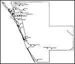
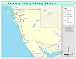
Sarasota County Railway Network- Color,
2009 |
|
Sarasota County Road Network- Color,
2009 |
|
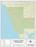
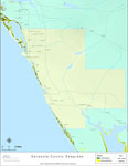
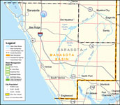
Southwest Florida Water Management District- Sarasota County,
September 28, 2004 |
| First | Previous |
| FL Maps > County > Sarasota |
Maps ETC
is a part of the
Educational Technology Clearinghouse
Produced by the
Florida Center for Instructional Technology
© 2007
College of Education
,
University of South Florida