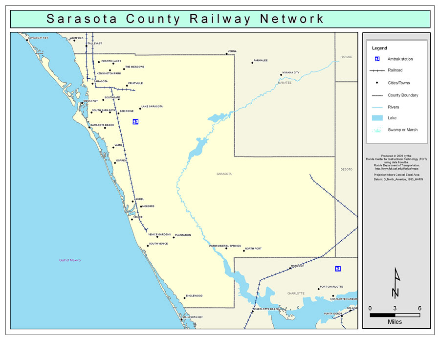
Description: This is a color railroad map of Sarasota county, 2009. It also shows location of cities and towns including Bee Ridge and Siesta Key, inland water including rivers and lakes, and Amtrak stations.
Place Names: Sarasota, Sarasota, �Osprey, �Venice, �Englewood, �North Sarasota, �Desoto Lakes, �Fruitville, �Kensington Park, �The Meadows, �Lake Sarasota, �Siesta Key, �Bee Ridge, �Southgate, �South Gate Ridge, �Ridgewood Heights, �Sarasota Beach, �Vamo, �Laurel, �Nokomis, �Venice Gardens, �Plantation, �Warm Mineral Springs, �North Port
ISO Topic Categories: boundaries, �transportation, �inlandWaters
Keywords: Sarasota County Railway Network- Color, physical, �transportation, �political, county borders, railroads, boundaries, �transportation, �inlandWaters, Albers_Conical_Equal,2009
Source: Florida Center for Instructional Technology, Exploring Florida: Social Studies Resources �for Students and Teachers (Tampa, FL: University of South Florida, 2009)
Map Credit: Courtesy of the Florida Center for Instructional Technology, Author: Samer Slaiby |
|