|
|
|
| FL Maps > County > Jefferson |
Click on a thumbnail image to view a full size version of that map.
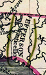
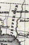
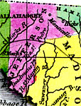
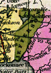
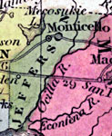
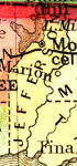
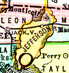
Jefferson County is Florida's 13th county, established on January 20, 1827, from a segment of Escambia County. It gains its name from Thomas Jefferson (1743-1826), the 3th President of the United States (1801-1809). Monticello, named after Jefferson's historic home in Virginia, is the county seat.
For earlier maps of this area, visit the Escambia County map gallery.
|
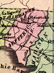
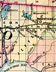
Jefferson County,
1830 |
|
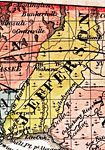
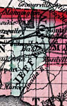
Jefferson County,
1832 |
|
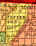
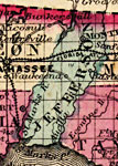
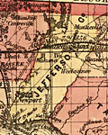
Jefferson County,
1834 |
|
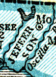
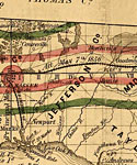
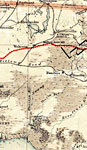
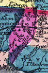
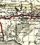
Detail - Florida,
1839 |
|
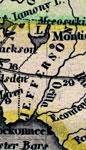
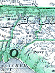
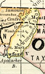
Detail - Map of the State of Florida,
1842 |
|
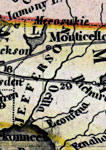
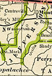
Jefferson County,
1845 |
|
Jefferson County,
1845 |
|
Jefferson County,
1850 |
|
Jefferson County,
1850 |
|
Jefferson County,
1856 |
|
Jefferson County,
1857 |
|
Jefferson County,
1859 |
|
Jefferson County,
1860 |
|
Jefferson,
1860 |
|
Jefferson County,
1863 |
|
Jefferson County,
1864 |
|
Jefferson County,
1871 |
|
Jefferson County,
1873 |
|
Jefferson County,
1874 |
|
Jefferson County,
1880 |
|
Jefferson County,
1880 |
|
Jefferson County,
1882 |
|
Jefferson County,
1883 |
|
Jefferson County,
1886 |
|
Jefferson County,
1886 |
| Next | Last |
| FL Maps > County > Jefferson |
Maps ETC
is a part of the
Educational Technology Clearinghouse
Produced by the
Florida Center for Instructional Technology
© 2007
College of Education
,
University of South Florida