|
|
|
| FL Maps > County > Alachua |
Click on a thumbnail image to view a full size version of that map.
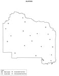
Alachua County is Florida's 9th county, established on December 29, 1824, from a segment of St. Johns County. It gains its name from a Spanish ranch that existed in the area during the late 1600s. It is believed that the name comes from a large chasm that is located northwest of Gainesville. Gainesville is the county seat.
For earlier maps of this area, visit the St. Johns County map gallery.
|
Fancy Frames Collection: Alachua County Maps in 30 styles,
2008 |

|
Florida Photo Collection: Alachua County Maps in 30 styles,
2008 |
|
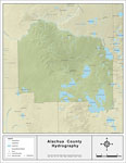
Florida Waterways: Alachua County ,
2008 |
|
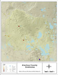
Sinkholes of Alachua County, Florida,
2008 |

|
Alachua "Abstract" Style Maps in 30 Styles,
2008 |

|
Alachua County "Fun" Maps in 30 Styles,
2008 |
|
Alachua County Cities with Labels,
2009 |
|
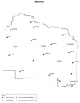
Alachua County Cities Outline,
2009 |
|
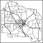
Alachua County Road Network- Black and White,
2009 |
|
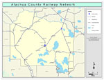
Alachua County Railway Network- Black and White,
2009 |
|
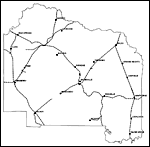
Alachua County Railway Network- Color,
2009 |
|
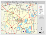
Alachua County Road Network- Color,
2009 |
| First | Previous |
| FL Maps > County > Alachua |
Maps ETC
is a part of the
Educational Technology Clearinghouse
Produced by the
Florida Center for Instructional Technology
© 2007
College of Education
,
University of South Florida