|
|
|
| FL Maps > County > Liberty |
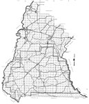
Click on a thumbnail image to view a full size version of that map.
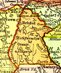
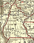
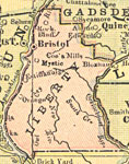
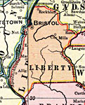
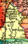
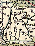
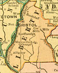
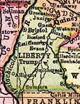
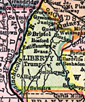
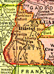
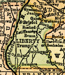
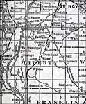
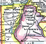
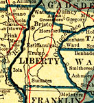
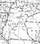
Liberty County is Florida's 34th county, established on December 15, 1855, from a segment of Gadsden County. It gains its name from one of the driving principles of the creation of the United States - "liberty." Bristol is the county seat.
For earlier maps of this area, visit the Gadsden County map gallery.
|
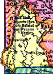
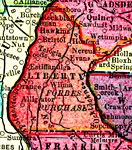
Liberty County,
1898 |
|
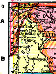
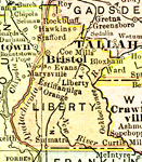
Liberty County,
1898 |
|
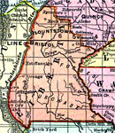
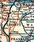
Liberty County,
1898 |
|
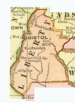
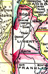
Liberty County,
1899 |
|
Liberty County,
1900 |
|
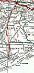
Florida Railroads - Liberty County,
1900 |
|
Liberty County,
1900 |
|
Liberty County,
1902 |
|
Liberty County,
1904 |
|
Liberty County,
1907 |
|
Liberty County,
1909 |
|
Liberty County,
1910 |
|
Liberty County,
1911 |
|
Liberty County,
1911 |
|
Liberty County,
1914 |
|
Liberty County,
1916 |
|
Liberty County,
1916 |
|
Liberty County,
1917 |
|
Liberty County,
1917 |
|
Liberty County,
1920 |
|
Liberty County,
1920 |
|
Liberty County,
1921 |
|
Liberty County,
1921 |
|
Liberty County,
1932 |
|
Liberty,
1936 |
| First | Previous | Next | Last |
| FL Maps > County > Liberty |
Maps ETC
is a part of the
Educational Technology Clearinghouse
Produced by the
Florida Center for Instructional Technology
© 2007
College of Education
,
University of South Florida