| Home > Maps > Escambia City and Local > Pensacola Bay, 1860s | |
|
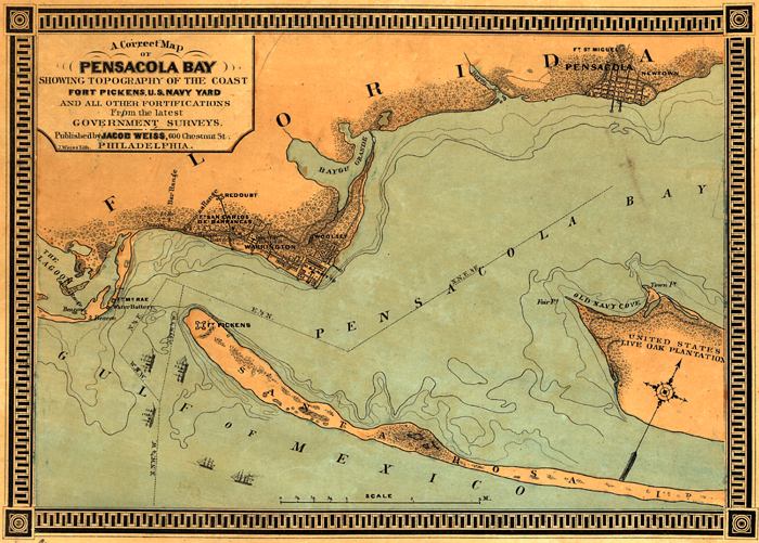
A
"correct" map of Pensacola Bay showing topography of the coast,
Fort Pickens, U.S. Navy Yard, and all other fortifications from the latest
Government surveys in the 1860s.
|
|
Map Credit: Courtesy of the Library of Congress, Geography and Map Division. |
| Home > Maps > Escambia City and Local > Pensacola Bay, 1860s |
Exploring
Florida: A Social Studies Resource for Students and Teachers
Produced by the Florida Center for Instructional
Technology,
College of Education, University of South Florida © 2002.