| Home > Maps > Aerial > Red Tide | |
|
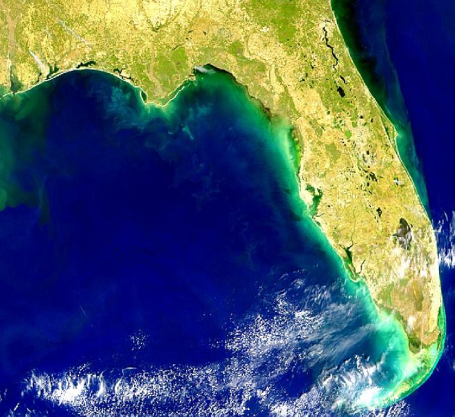
A
SeaWiFS image showing red tide conditions along the Gulf Coast of Florida
and Louisiana on March 1, 1999.
|
|
Map Credit: Courtesy of the SeaWiFS Project, NASA/Goddard Space Flight Center, and ORBIMAGE.
|
| Home > Maps > Aerial > Red Tide |
Exploring
Florida: A Social Studies Resource for Students and Teachers
Produced by the Florida Center for Instructional
Technology,
College of Education, University of South Florida © 2002.