| Home > Maps > Aerial > Southern Florida, Cuba, Bahamas | |
|
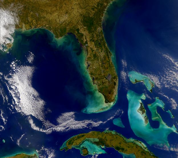
A
SeaWiFS image showing the shallower waters around Cuba and the Bahamas
contrasted with the darker water around southern Florida.
|
|
Map Credit: Courtesy of the SeaWiFS Project, NASA/Goddard Space Flight Center, and ORBIMAGE.
|
| Home > Maps > Aerial > Southern Florida, Cuba, Bahamas |
Exploring
Florida: A Social Studies Resource for Students and Teachers
Produced by the Florida Center for Instructional
Technology,
College of Education, University of South Florida © 2002.