|
|
|
| FL Maps > County > Duval |
Click on a thumbnail image to view a full size version of that map.
Duval County is Florida's 4th county, established on August 12, 1822, from a segment of St. Johns County. It gains its name from William Pope DuVal (1784-1854), the first Territorial Governor of Florida. The capitol was established in Tallahassee during his time in office. Jacksonville, named after Andrew Jackson, is the county seat. Historic sites in this county include the Kingsley Plantation and the Fort Caroline National Memorial.
For earlier maps of this area, visit the St. Johns County map gallery.
|
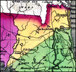
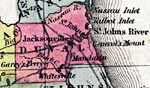
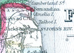
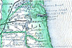
Duval County,
1827 |
|
Detail - Geographical, statistical, and historical map of Florida,
1827 |
|
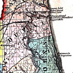
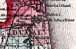
Duval County,
1830 |
|
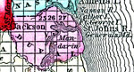
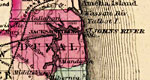
Duval County,
1832 |
|
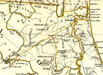
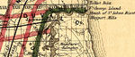
Duval County,
1834 |
|
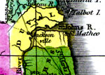
Duval County,
1834 |
|
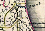
Detail - Florida,
1839 |
|
Detail - Map of the State of Florida,
1842 |
|
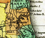
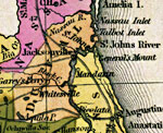
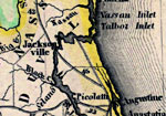
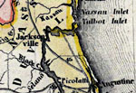
Duval County,
1845 |
|
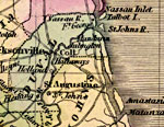
Duval County,
1845 |
|
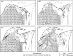
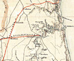
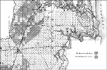
Simulated Waterborne Particle Distribution on the Mayport Peninsula ,
1847 to 1997 |
|
Duval County,
1850 |
|
Duval County,
1850 |
|
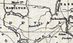
Duval County,
1856 |
|
Duval County,
1857 |
|
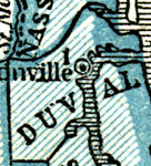
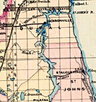
Duval County,
1859 |
|
Duval County,
1860 |
|
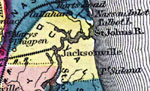
Duval County,
1860 |
|
Duval County,
1863 |
|
Duval County,
1864 |
|
Duval County,
1871 |
|
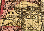
Duval County,
1873 |
|
Duval County,
1874 |
|
Duval County,
1876 |
|
Duval County,
1880 |
| Next | Last |
| FL Maps > County > Duval |
Maps ETC
is a part of the
Educational Technology Clearinghouse
Produced by the
Florida Center for Instructional Technology
© 2007
College of Education
,
University of South Florida