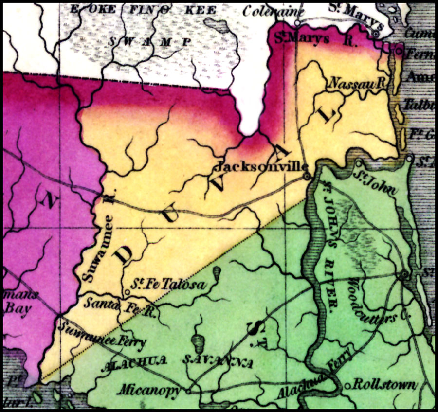
Description: A portion of Young's map of Florida showing the extent of Duval County in 1827. Digitization provided by the USF Libraries Digitization Center. Rare Maps. This is a hand-colored map of Duval County showing the cities and towns, inland waters, railroads, etc, circa 1827. Scale [ca. 1:3,168,000].
Place Names: Duval, Jacksonville, St. Johns River, Atlantic Ocean, Okeefinokee Swamp
ISO Topic Categories: inlandWaters, boundaries, transportation, oceans
Keywords: Duval County, physical, historical, political, transportation, physical features, county borders, railroads, inlandWaters, boundaries, transportation, oceans, Unknown,1827
Source: J. H. Young, (Philadelphia, PA: A. Finley, 1827)
Map Credit: Courtesy of the Special Collections Department, University of South Florida. |
|