|
|
|
| FL Maps > County > Leon |
Click on a thumbnail image to view a full size version of that map.
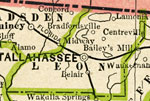
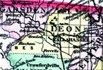
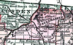
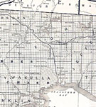
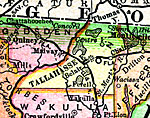
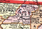
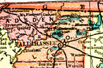
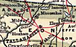
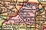
Leon County is Florida's 7th county, established on December 29, 1824, from a segment of Escambia County. It gains its name from Juan Ponce de León, a famous Spanish explorer. During Columbus' second voyage (1513), de León sighted land that he named "Pasqua de Flores," after the Feast of Flowers that occurs around Easter time. Tallahassee, which also serves as the capital for Florida, is the county seat. Its name is derived from a Creek Indian word meaning "old town."
For earlier maps of this area, visit the Escambia County map gallery.
|
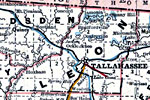
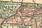
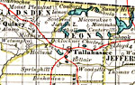
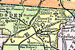
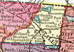
Leon County,
1886 |
|
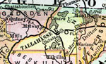
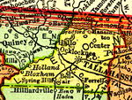
Leon County,
1886 |
|
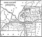
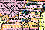
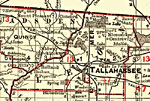
Leon County,
1888 |
|
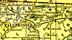
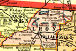
Leon County,
1888 |
|
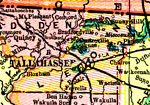
Leon County,
1889 |
|
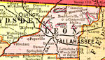
Leon County,
1890 |
|
Leon County,
1890 |
|
Leon County,
1890 |
|
Leon County,
1892 |
|
Leon County,
1893 |
|
Leon County,
1894 |
|
Leon County,
1895 |
|
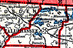
Leon County,
1897 |
|
Leon County,
1898 |
|
Leon County,
1898 |
|
Leon County,
1899 |
|
Leon County,
1900 |
|
Leon County,
1900 |
|
Florida Railroads - Leon County,
1900 |
|
Leon County,
1902 |
|
Leon County,
1902 |
|
Leon County,
1904 |
|
Leon County,
1907 |
|
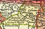
Leon County,
1910 |
|
Leon County,
1911 |
| First | Previous | Next | Last |
| FL Maps > County > Leon |
Maps ETC
is a part of the
Educational Technology Clearinghouse
Produced by the
Florida Center for Instructional Technology
© 2007
College of Education
,
University of South Florida