|
|
|
| FL Maps > Local > Clay |
Click on a thumbnail image to view a full size version of that map.
|
Map of the Florida Winter Home and Improvement Companies Lands,
1884 |
|
Map of the Florida Winter Home and Improvement Companies Lands - Orange Park,
1884 |
|
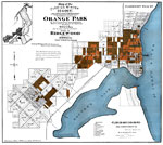
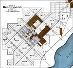
Map of the Florida Winter Home and Improvement Companies Lands - Ridgewood,
1884 |
|
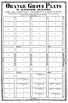
Orange Grove Plats, 5 Acres Each. East Half Section 1, Township 7, Range 24 East.,
1885 |
|
Revised Plat of the City of Belmore, Clay Co., Florida: situated in sections 12 and section 13 of township 7 South R24 East.,
1885 |
|
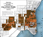
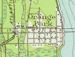
Orange Park,
1917 |
|
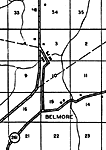
Belmore,
1936 |
|
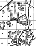
Gold Head Branch,
1936
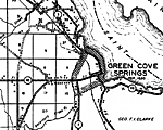
Green Cove Springs,
1936 |
|
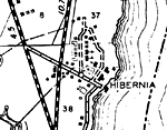
Hibernia,
1936 |
|
Highland,
1936 |
|
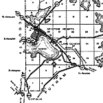
Keystone Heights and Lake Geneva,
1936 |
|
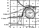
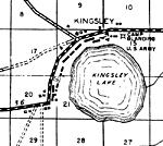
Kingsley,
1936 |
|
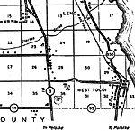
Leno and West Tocoi,
1936 |
|
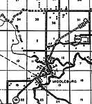
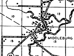
Middleburg,
1936 |
|
Orange Park,
1936
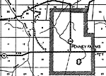
Penney Farms,
1936 |
|
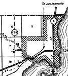
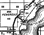
Peoria,
1936 |
|
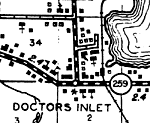
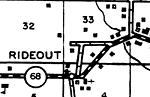
Rideout and Doctors Inlet,
1936 |
|
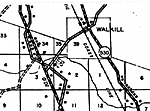
Walkill,
1936 |
|
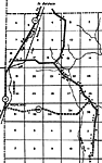
Detail - Highway and Transportation Map of Clay County,
1940 |
|
Detail - Highway and Transportation Map of Clay County,
1940 |
|
Detail - Highway and Transportation Map of Clay County,
1940 |
|
Detail - Highway and Transportation Map of Clay County,
1940 |
|
Detail - Highway and Transportation Map of Clay County,
1940 |
| Next | Last |
| FL Maps > Local > Clay |
Maps ETC
is a part of the
Educational Technology Clearinghouse
Produced by the
Florida Center for Instructional Technology
© 2007
College of Education
,
University of South Florida