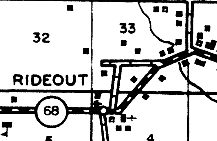
Description: This is a detail of a map of the transportation system in Clay County, Florida current to 1940 that specifies Rideout. Section Township Range (STR) is shown. This map shows divided highways, graded and drained roads, small businesses, a school, a church, dwellings, and a stream. Key to Florida Highway maps.
Place Names: Clay, Rideout,
ISO Topic Categories: boundaries, location, transportation, inlandWaters
Keywords: Detail - Highway and Transportation Map of Clay County, physical, political, transportation, physical features, local jurisdictions, roads, boundaries, location, transportation, inlandWaters, Unknown,1940
Source: , Florida State Road Department (Tallahassee, FL: FDOT, 1940)
Map Credit: Courtesy of the Pennsylvania State University Libraries Map Library |
|