|
|
|
| FL Maps > Local > Leon |
Click on a thumbnail image to view a full size version of that map.
|
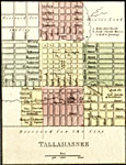
Detail - Map of Florida,
1850 |
|
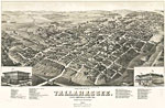
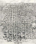
View of the city of Tallahassee, State capital of Florida,
1885 |
|
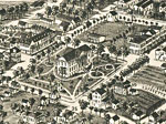
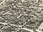
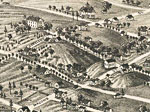
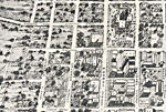
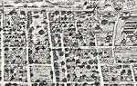
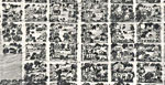
Detail View of the city of Tallahassee, State capital of Florida,
1885 |
|
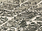
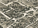
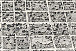
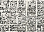
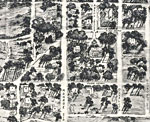
Detail View of the city of Tallahassee, State capital of Florida,
1885 |
|
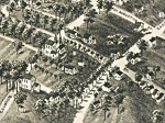
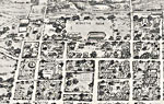
Detail View of the city of Tallahassee, State capital of Florida,
1885 |
|
Detail View of the city of Tallahassee, State capital of Florida,
1885 |
|
Detail View of the city of Tallahassee, State capital of Florida,
1885 |
|
Detail View of the city of Tallahassee, State capital of Florida,
1885 |
|
Detail View of the city of Tallahassee, State capital of Florida,
1885 |
|
Detail View of the city of Tallahassee, State capital of Florida,
1885 |
|
Detail View of the city of Tallahassee, State capital of Florida,
1885 |
|
Detail View of the city of Tallahassee, State capital of Florida,
1885 |
|
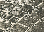
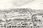
An Aero-View of Tallahassee,
1926 |
|
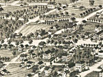
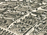
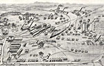
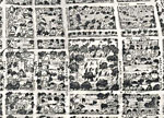
Detail from an Aero-View of Tallahassee,
1926 |
|
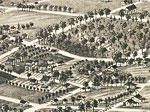
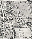
Detail from an Aero-View of Tallahassee,
1926 |
|
Detail from an Aero-View of Tallahassee,
1926 |
|
Detail from an Aero-View of Tallahassee,
1926 |
|
Detail from an Aero-View of Tallahassee,
1926 |
|
Detail from an Aero-View of Tallahassee,
1926 |
|
Detail from an Aero-View of Tallahassee,
1926 |
|
Detail from an Aero-View of Tallahassee,
1926 |
|
Detail from an Aero-View of Tallahassee,
1926 |
|
Detail from an Aero-View of Tallahassee,
1926 |
|
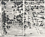
Detail from an Aero-View of Tallahassee,
1926 |
|
Detail from an Aero-View of Tallahassee,
1926 |
| Next | Last |
| FL Maps > Local > Leon |
Maps ETC
is a part of the
Educational Technology Clearinghouse
Produced by the
Florida Center for Instructional Technology
© 2007
College of Education
,
University of South Florida