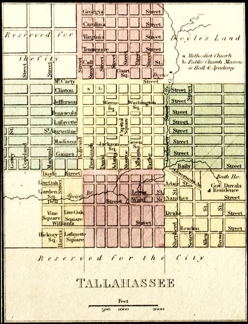
Description: This is a detail of a map that shows Florida current to 1850. The detail highlights Tallahasee with the text "Reserved for the City." There are streets depicted, as well as Gov. Duval's residence. Minor waterways are shown, such as springs, creeks, and streams. The detail shows the business district, which is broken into squares. There is a scale on the map.
Place Names: Leon, Tallahassee,
ISO Topic Categories: inlandWaters, transportation
Keywords: Detail - Map of Florida, physical, transportation, physical features, roads, inlandWaters, transportation, Unknown,1850
Source: , (Philadelphia, PA: Thomas, Cowpwerthwait & Co, 1850)
Map Credit: Courtesy of the Special Collections Department, University of South Florida. |
|